Welcome to PIN
The Permafrost Information Network is a publically accessible web portal for permafrost-related data
Collaborators
The pilot PIN project involves participation/data from the Geological Survey of Canada (NRCan), Transport Canada and the Groundwater Information Network
Publications 
Recent Climate Change Geoscience Program publications:
What is PIN?

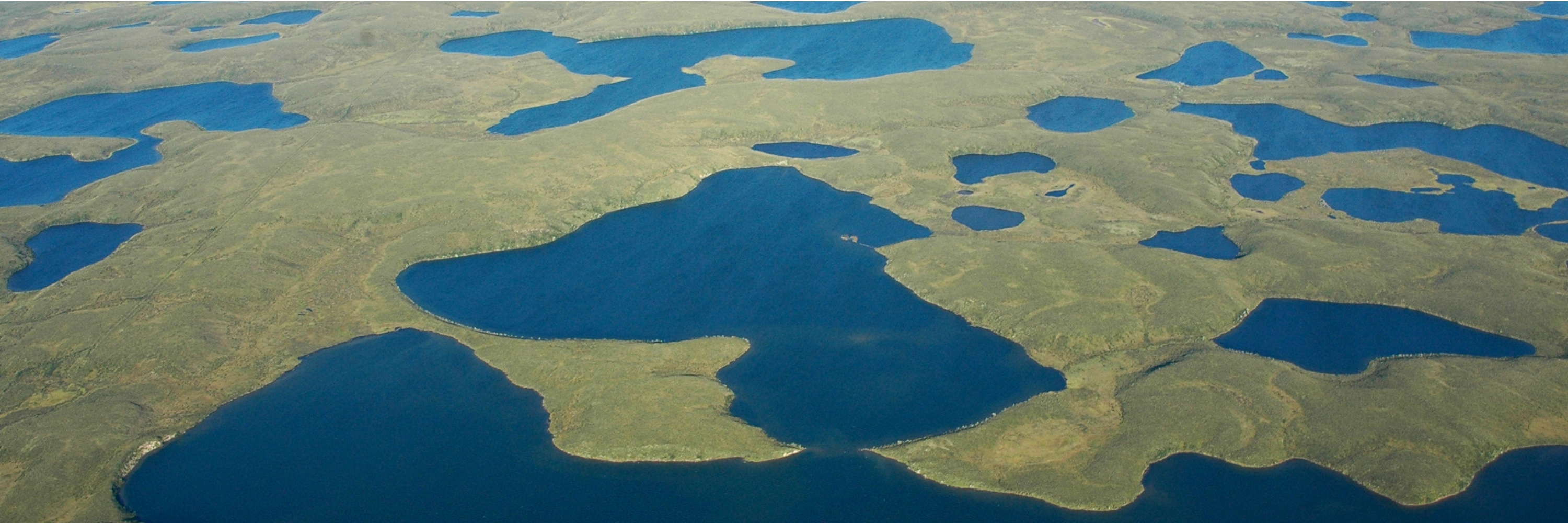
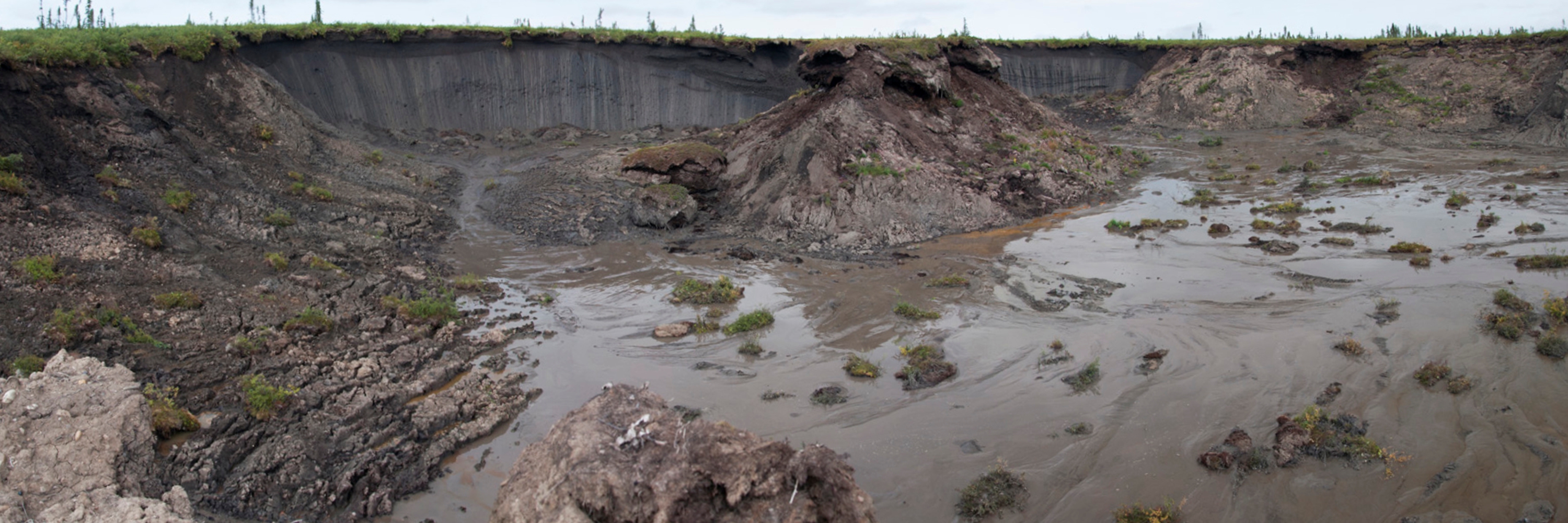
The Permafrost Information Network (PIN) is being developed to improve knowledge of permafrost conditions and contribute pertinent information to government, northern, and research stakeholders. PIN connects borehole stratigraphic, geotechnical, ground thermal, and surficial geology data from a variety of data sources. Currently, PIN includes geotechnical and ground thermal data from published Geological Survey of Canada databases. However, the goal is to collaborate with Territorial data holders to connect their collections through the PIN application.